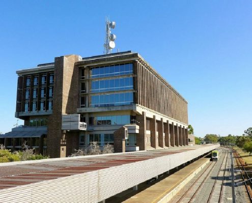
Public Transport Authority
Perth Cadcentre has been instrumental in the delivery of a Facilities Management System* for the Public Transport Authority’s “Location Naming & Interactive Mapping System”.
With the project commencing in July 2012, Perth Cadcentre has project managed and delivered a Location Naming protocol which enables the collation, storing and interactive viewing of a vast array of As Constructed CAD & project records of key assets, building structures and stations managed by the Public Transport Authority.
PROJECT SUMMARY:
- Define a ‘Location Naming Convention’ that provides an accurate means to reference locations for all PTA Stations and Building infrastructure with a unique identification.
- The system provides a logical means to define all facilities by Site, Building, Floor, Room, Assets and Equipment.
- Verification and loading of drawings from the PTA’s As Constructed document management records for the building floor plans, including room layouts & room identification of the following locations:
- Perth Station & Perth Busport
- Perth Underground Station
- Elizabeth Keys Station and Elizabeth Keys Busport
- The Public Transport Centre
- Overlay of as constructed engineering services drawing records including:
- Fire Protection & EWIS Systems
- Tactical Fire & Equipment Layouts
- Back of House Plant & Tunnel Ventilation
- Evacuation Exits
- and more.
- With links to SISfm Enquiry and Archibus *, the Interactive Mapping Solution is accessible via standard web browser on an internal Intranet to provide an interactive drawing viewing portal. This viewing portal allows access by Site with drill down to building, floor and room with selectable overlays to control display of critical layers of information that need to be viewed.
*Acknowledgment to project partner – IFM. (Integrated Facility Management)

